
resources
Explore a Detailed Map of Cities in the United States
02 Apr 2026

Ever wondered about the intricate layout of the United States? This article delves into the nation's urban geography, providing a comprehensive framework for understanding its vast landscape. Our exploration will span everything from distinct state borders and major river systems to how advanced digital tools like Google Earth can offer unparalleled, up-close views of the country. Indeed, this vast nation, whether explored on paper or screen, offers a truly captivating journey.
Key Takeaways
- The United States features distinct physical characteristics, including prominent mountain ranges and extensive river systems.
- A fundamental grasp of state boundaries and capital cities is essential for interpreting any map of the U.S.
- Modern digital tools, such as Google Earth, provide highly detailed perspectives of cities and natural landscapes.
- The country is rich in diverse natural resources and actively confronts various environmental challenges.
- Engaging with a map of cities in the United States effectively reveals population centers and their broader significance.
Navigating The United States Map
Understanding State Boundaries and Capitals
To truly grasp the United States, one must first acquaint themselves with its fundamental structure. The country is meticulously divided into 50 states, each possessing its own unique identity and—critically—its own designated capital city. Acquiring a solid understanding of these boundaries and capitals effectively provides a foundational roadmap for the entire nation. Perhaps you're curious about North American geography; if so, knowing each state's placement is an essential initial step. Some states are quite straightforward to locate, like the sprawling ones in the west or the compact cluster of New England states in the northeast. However, others, particularly within the Midwest, can prove a bit trickier to distinguish without a clear point of reference.
Here's a concise overview of how states and their capitals are organized:
- State Boundaries: These lines prominently displayed on a map define each state's territorial limits. They might follow natural features such as rivers or mountain ranges, or they could be purely artificial demarcations of latitude and longitude.
- State Capitals: Each state maintains a designated capital city. This location is often chosen for its historical significance or its central geographical position. For example, while New York City is undoubtedly the largest city in New York, Albany serves as its capital.
- Major Cities: Beyond the capitals, every state also hosts other significant cities that function as vital economic, cultural, or population centers. Identifying these helps paint a more comprehensive picture of the state's urban landscape.
Mastering these state boundaries and capitals is, without question, a foundational skill for anyone aiming to comprehend the geography of the United States. This knowledge proves invaluable for planning travel, interpreting news reports, and even simply appreciating the rich diversity contained within the country's borders. Fortunately, numerous online resources offer clear depictions of these details, often with various map styles to suit diverse preferences.
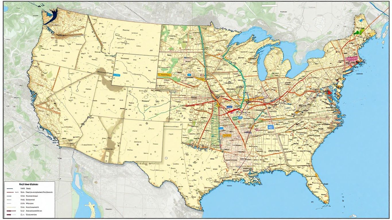
Locating Major Cities and Geographic Features
With a firm grasp of state divisions established, the subsequent step involves pinpointing the nation's major cities and pivotal geographic features. The U.S. is incredibly diverse geographically, from the towering Rocky Mountains in the west to the vast Mississippi River system that cuts through the heartland—a true testament to geological variety. Comprehending the interplay between these features and urban centers provides crucial context, influencing everything from population distribution to prevailing economic activities. Historically, for instance, numerous prominent cities emerged along coastlines or major rivers—locations that naturally fostered trade and transportation. The Citiesabc platform, for instance, can assist in indexing and understanding these global urban hubs.
Consider these key elements:
- Mountain Ranges: Features like the Rockies and the Appalachians fundamentally shape the landscape and exert considerable influence over regional climate and settlement patterns.
- River Systems: The Mississippi, Missouri, and Colorado Rivers serve as vital arteries for the country, significantly impacting agriculture, industry, and diverse ecosystems.
- Large Water Bodies: The Great Lakes in the north, alongside various coastal bays and gulfs, hold immense significance for commerce, recreation, and climate regulation.
The strategic placement of cities is rarely coincidental. Historically, readily available access to water for transport and sustenance, fertile land for farming, or advantageous defensive positions often dictated where small settlements would eventually burgeon into major urban centers. While modern infrastructure, including extensive highway networks and sprawling airports, has certainly altered these dynamics, the original geographic influences remain profoundly important.
Utilizing Digital Mapping Tools
In our contemporary world, digital mapping tools have unequivocally transformed the exploration of the U.S. map, rendering it more accessible than ever before. Applications such as Google Earth, for instance, provide remarkably detailed satellite imagery, enabling users to zoom in on anything from specific streetscapes to expansive landscapes. Far from being mere tools for casual browsing, these platforms serve as potent resources for comprehensive research, meticulous planning, and impactful education. You can seamlessly transition between various map views, obtain precise directions, and even leverage features like Street View to gain an immersive, ground-level perspective of any location. Indeed, this heightened interactivity fundamentally transforms a traditionally static map into a truly dynamic and engaging exploration experience. Furthermore, these tools are generally free and readily accessible across most devices, democratizing access to detailed geographic information for all.
Exploring Physical Geography
The United States, a nation of breathtaking geographic diversity, reveals its true grandeur through an understanding of its physical features—a key to appreciating its sheer vastness and varied landscapes. From towering mountain ranges to sprawling river systems, the U.S. map narrates a compelling story shaped by enduring geological forces and intricate natural processes.
Mountain Ranges and Western Terrain
The western expanse of the United States is markedly defined by its dramatic, often rugged, mountain ranges. Most prominent among these are the Rocky Mountains—a colossal chain extending northward from New Mexico deep into Canada. They are characterized by formidable peaks, profound valleys, and an undeniably rugged terrain. Further westward, the Pacific Coast Ranges delineate a series of mountains and valleys flanking the Pacific coastline, encompassing iconic ranges such as California's Sierra Nevada and the Cascades of the Pacific Northwest. Such regions frequently exhibit considerable elevation changes, profoundly influencing local climates and diverse ecosystems.
River Systems and Drainage Basins
Waterways invariably serve as the lifeblood of any continent, and the United States, notably, is crisscrossed by an extensive, vital network of rivers. The Mississippi River, arguably the nation's longest and most significant, forms the very backbone of a colossal drainage basin—a system that encompasses much of the central United States. This river, synergistically with its primary tributary, the Missouri River, gathers water from as far west as the formidable Rocky Mountains and as far east as the venerable Appalachian Mountains. Other crucial river systems include the Colorado River, famed for carving the majestic Grand Canyon, and the Rio Grande, which delineates a portion of the border with Mexico.
Major Lakes and Water Bodies
Beyond its extensive river networks, the U.S. proudly hosts a multitude of significant lakes and other water bodies. The Great Lakes, situated in the northeastern quadrant of the country, collectively represent the largest group of freshwater lakes on Earth by total surface area—a truly vital national resource. This magnificent collection includes Lake Superior, Lake Michigan, Lake Huron, Lake Erie, and Lake Ontario. In the western states, one encounters expansive saline lakes such as Utah's Great Salt Lake, while Florida boasts Lake Okeechobee, a prominent freshwater body. Furthermore, the nation is flanked by two immense oceans: the Atlantic to its east and the Pacific to its west.
The intricate interplay between mountains, rivers, and lakes profoundly shapes everything from human settlement patterns to the types of agriculture and industries that thrive in different regions. It's a dynamic system—a testament to millions of years of geological evolution—that continues to influence the country today.
Key Cities and Their Significance
Cities across the United States do far more than merely mark geographical locations—they serve as dynamic engines, propelling the nation's economy, culture, and innovation forward. Each urban center, be it a sprawling metropolis or a more modest state capital, profoundly shapes its respective region through its industry, governmental functions, and daily rhythms of life. Let's now delve into how these cities are represented on detailed maps and, critically, why their existence holds such significant weight.
Understanding the Map of United States Cities
Upon examining a detailed map of the U.S., one immediately discerns an impressive and diverse mix of city sizes and strategic locations. Crucially, the nation's largest cities aren't exclusively coastal; significant urban hubs extend geographically from the East Coast all the way to the thriving Southwest.
- Cities like New York, Los Angeles, and Chicago are celebrated for their dense populations, diverse economies, and immense national and global influence.
- You'll also discover unique regional centers: Las Vegas, for example, is renowned as the country's premier gaming destination, while cities like Houston serve as powerful anchors for the nation's energy sector.
- Regional powerhouses such as Miami, San Francisco, and Boston add considerable depth, each recognized globally for contributions to technology, finance, tourism, or education.
Visually, on a map, cities and their distinct names serve as invaluable indicators, helping you rapidly identify population concentrations, employment clusters, and the specific industries thriving within each zone.
| City | Region | Known For | Approx. Population (2024) |
|---|---|---|---|
| New York City | Northeast | Finance, Arts | 8.6 million |
| Los Angeles | West Coast | Film, Tech, Trade | 4.0 million |
| Chicago | Midwest | Industry, Transport | 2.7 million |
| Houston | South | Energy, Space | 2.3 million |
| Phoenix | Southwest | Growth, Tech | 1.7 million |
As you peruse a U.S. map, observe how the strategic placement of cities often aligns with coastlines, major rivers, and historical trade routes—each telling a nuanced story of expansion and interconnectedness throughout the nation's development.
Identifying National and State Capitals
Every state delineated on the map possesses a capital city, each fulfilling a uniquely important role.
- The national capital, Washington, D.C., stands out distinctly for its iconic government buildings, profound historical significance, and paramount role in national decision-making.
- Some state capitals effectively double as significant economic hubs—consider Atlanta, Denver, or Boston—while others, such as Sacramento or Harrisburg, maintain a more focused emphasis on governance.
- Capitals are strategically distributed throughout the country, often in locations chosen for compelling historical or political reasons, rather than solely for their contemporary size.
Consider, for instance, an educational institution like the Stevens Institute of Technology; you'll often observe how universities frequently gravitate towards or are situated within major cities, thereby consistently fostering innovation and regional development.
Notable Metropolitan Areas
The nation's largest metropolitan areas effectively consolidate several cities into expansive regions, thereby creating formidable mega-centers of economic and cultural activity.
- These vast areas frequently stretch beyond traditional city boundaries, seamlessly combining central cities with their surrounding suburbs and nearby towns.
- Prominent examples include the sprawling New York metropolitan area, the dynamic Los Angeles region, and the extensive Dallas–Fort Worth area.
- Such metropolitan zones serve as powerful drivers of significant portions of the U.S. economy and collectively house millions of residents.
Here are a few key points to remember about these expansive metropolitan regions:
- Shared infrastructure—encompassing highways, airports, and rail networks—efficiently connects the core cities with their surrounding suburbs.
- Economic ties often run far deeper than mere city limits, thanks to the clustering of corporate headquarters and specific industry sectors.
- Vibrant, diverse neighborhoods and cultures naturally emerge as people relocate from all corners of the globe.
Maps that distinctly highlight these extensive metropolitan areas prove especially beneficial for purposes ranging from travel planning and relocation to simply comprehending the nation's organizational structure for initiatives like voting or employment searches.
Regional Perspectives on the Map
When engaging with a map of the United States, adopting a regional perspective can be incredibly illuminating. Given the nation's immense size and remarkable diversity, a regional breakdown invariably facilitates comprehension. While we've previously touched upon certain aspects of physical geography, let's now zoom in to examine how distinct areas truly differentiate themselves.
Focusing on the Great Lakes Region
The Great Lakes constitute an unequivocally massive geographical feature, powerfully defining the expansive upper Midwest and Northeast regions. Comprising five immense bodies of freshwater—Superior, Michigan, Huron, Erie, and Ontario—they are interconnected and link to the Atlantic Ocean via the St. Lawrence River. This region holds paramount importance for shipping and industry, serving as home to significant urban centers such as Chicago, Detroit, and Cleveland. Indeed, the sheer volume of water is astounding; to put it in perspective, if the Great Lakes' water were to inundate the remainder of the U.S., it would cover the land to a depth of approximately five feet. Maps frequently emphasize these lakes, precisely because they stand as such dominant and defining geographical elements.
Understanding U.S. Territories
Beyond its 50 constituent states, the U.S. also administers various territories. These are distinct areas operating under U.S. sovereignty, yet they do not form part of any individual state. Consider, for instance, locales such as Puerto Rico, Guam, and the U.S. Virgin Islands. While possessing their own local governance, their citizens, however, don't always enjoy the full spectrum of rights afforded to those residing in the states, nor can they cast votes in presidential elections. On maps, these territories might appear as separate entities, frequently depicted in smaller insets or differentiated by distinct shading, to clearly distinguish them from the 50 states.
North American Context
It's also incredibly beneficial to view the U.S. within the broader geographical context of North America. The map vividly illustrates its position, nestled between Canada to the north and Mexico to the south. This continental perspective readily highlights shared borders, vital trade routes, and the intricate way the U.S. integrates into the wider North American ecosystem and economy. One can observe, for example, how prominent mountain ranges—such as the Rockies—traverse national borders, and how expansive river systems interlink distinct countries. A nuanced understanding of these interconnected relationships helps to paint a significantly fuller picture of the entire continent.
| Bordering Country | Border Length (approx. miles) |
|---|---|
| Canada | 5,525 |
| Mexico | 1,990 |
Looking at the U.S. regionally helps us appreciate its immense diversity. From the industrial heartland around the Great Lakes to the vastness of its territories and its integral place on the continent, each perspective adds another crucial layer to understanding this large and complex country.
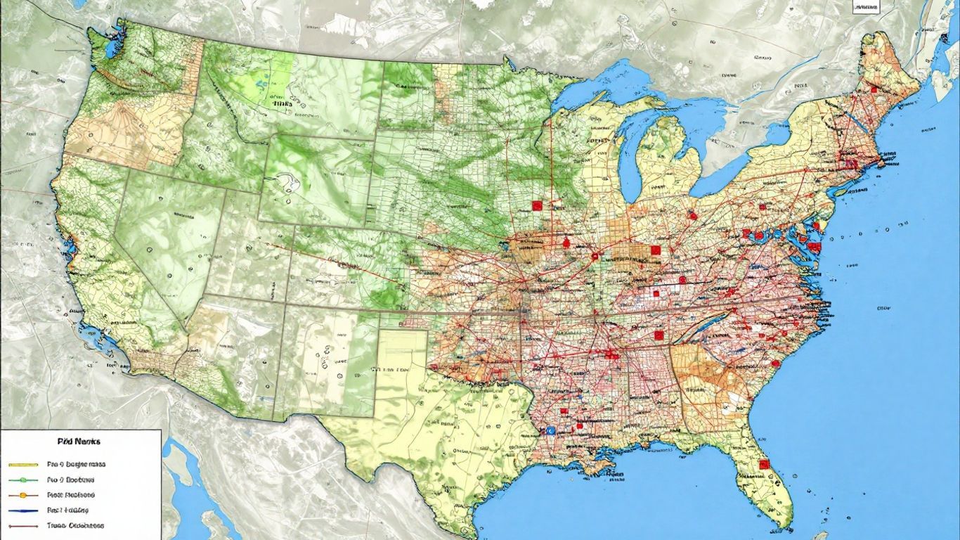
Resources and Features on the Map
When one gazes upon a map of the United States, it becomes clear that it offers far more than just a representation of cities and state lines. Indeed, a wealth of information exists both beneath and upon its surface! Maps can effectively illustrate the genesis of the nation's prosperity, the natural challenges it confronts, and the ongoing efforts to safeguard its environment.
Natural Resources and Deposits
The U.S. is notably abundant in a wide array of natural resources. Consider, for instance, the energy that fuels our homes and vehicles—much of which originates from subterranean deposits. The nation possesses significant reserves of fossil fuels, including coal, oil, and natural gas. Yet, the story extends beyond mere energy; the country also boasts considerable quantities of various metals, such as iron, copper, and even precious metals like gold and silver. Furthermore, vital resources such as timber from its expansive forests and essential materials for fertilizers also hold substantial importance.
Here's a quick look at some key resources:
- Fossil Fuels: Coal, Petroleum, Natural Gas
- Metals: Iron, Copper, Lead, Gold, Silver, Uranium, Zinc
- Other: Timber, Potash, Phosphates
Identifying Natural Hazards
Maps are also invaluable for highlighting regions susceptible to natural hazards. This visual representation empowers individuals to better comprehend the inherent risks present in diverse regions. For example, coastal areas bordering the Atlantic and Gulf of Mexico are frequently depicted as vulnerable to hurricanes. Meanwhile, the Midwest is renowned for its tornadoes, and the Pacific coast faces the potential for earthquakes and even tsunamis. Possessing knowledge of these potential hazards is, therefore, crucial for both meticulous planning and ensuring public safety.
Some common natural hazards shown on maps include:
- Storms: Hurricanes, Tornadoes
- Geological Activity: Earthquakes, Volcanoes, Mudslides
- Other: Flooding, Forest Fires, Permafrost (in Alaska)
Understanding the natural resources and inherent hazards of a region helps us to deeply appreciate the complex, often delicate, relationship between people and their environment. It serves as a potent reminder that while the land provides for us, it also presents formidable challenges for which we must remain prepared.
Environmental Considerations
Moving beyond mere resources and hazards, maps can additionally delineate areas of significant environmental concern or active conservation. Such representations might include national parks, designated protected wildlife areas, or even regions impacted by pollution. Maps offer a powerful means to visualize the impact of human activity on the landscape and underscore ongoing efforts aimed at preserving natural beauty and ecological balance for future generations. Ultimately, this all contributes to gaining a more comprehensive and holistic understanding of the United States.
Interactive Map Exploration
Using Google Earth for Detailed Views
Google Earth stands as a truly fantastic tool, offering an unparalleled opportunity to engage intimately with the United States map. This free program from Google grants users access to remarkably detailed satellite imagery of cities and landscapes across the nation. It's readily accessible, whether on your computer, tablet, or smartphone. In numerous locations, the imagery is so remarkably clear that one can discern individual houses, vehicles, and even pedestrians navigating the streets. Furthermore, its user-friendliness is exceptional.
Street View and Navigation
When utilizing platforms like Google Earth, users will frequently encounter a particularly captivating feature known as Street View. Indeed, this is where the exploration truly becomes immersive. It enables a virtual stroll through a city, revealing its appearance from a ground-level perspective. Can you imagine standing virtually on a bustling street corner in New York City or gazing upwards at the iconic Golden Gate Bridge in San Francisco? Street View makes such experiences remarkably accessible. It offers an unparalleled sense of presence, almost as if one were physically there, without the need for actual travel.
Measuring Distances and Areas
Beyond mere visual observation, interactive maps empower users to perform several practical functions. For instance, one can precisely measure the distance between any two points—say, from your hometown to the majestic Grand Canyon. Similarly, the ability to measure the size of an area proves quite advantageous, particularly if you're curious about the square mileage of a national park or a specific urban center. This capability adds an entirely new dimension to geographical comprehension.
These interactive tools fundamentally transform a static map into a truly dynamic experience, allowing for a much deeper connection with the places you're exploring. It's not merely about seeing where things are, but rather—and perhaps more importantly—understanding their scale and inherent context.
Your Journey Through the US Landscape
Thus far, our exploration has encompassed a wide array of cities across the United States. From bustling metropolises to charming smaller locales, the diversity found throughout the nation is truly immense. Whether you're meticulously planning a journey, undertaking academic research, or simply indulging a geographical curiosity, maps invariably prove to be an extraordinarily helpful tool. They vividly illustrate mountain ranges, river systems, and the intricate connections between various places. Continue your exploration, and you'll undoubtedly uncover even deeper insights into this vast and fascinating country.
Frequently Asked Questions
What are the main parts of a U.S. map?
A U.S. map typically features state lines, capital cities, and major urban centers. It also highlights significant natural features like mountains and rivers. Depending on its purpose, a map might also display transportation networks, such as roads, and protected areas, like national parks.
How can I see what different places in the U.S. look like?
Digital tools like Google Earth offer an excellent way to visualize various U.S. locations. You can zoom in to view detailed satellite imagery of cities and landscapes, giving you an almost "on-the-ground" perspective. Furthermore, Street View allows for virtual navigation along streets, providing an immersive experience.
What kind of natural features does the U.S. have?
The U.S. boasts remarkable natural diversity! Prominent features include expansive mountain ranges—such as the Rockies and the Appalachians—and vital river systems, with the Mississippi being particularly significant. Additionally, the country is home to large freshwater bodies, notably the Great Lakes, and borders two major oceans.
Are there any natural dangers in the U.S.?
Yes, the U.S. can indeed experience various natural hazards. These include hurricanes along its coastal regions, tornadoes primarily in the central states, earthquakes in geologically active areas like California, and widespread wildfires, especially in the western parts of the country.
What are some important cities in the U.S.?
Some of the most well-known and influential cities include New York City, Los Angeles, Chicago, Houston, and Philadelphia. Many of these serve as critical centers for business, culture, or industry. Furthermore, a map will indicate state capitals, which are important governmental hubs across the nation.
Can I measure distances on a map?
Many modern digital map tools, including Google Earth, allow you to precisely measure the distance between two specified points. You can also calculate the size of specific areas, which is quite useful for understanding the scale of different regions or protected parklands.
Share

citiesabc resources
Citiesabc is a digital transformation platform dedicated to empowering, guiding, and indexing cities worldwide. Established by a team of global industry leaders, academics, and experts, it offers innovative solutions, comprehensive lists, rankings, and connections for the world's top cities and their populations


